To efficiently create precise stream designs, CEC employs the use of various three-dimensional (3D) technologies in its process. Our experts have developed custom tools that enable our stream designers to better meet client project needs.
Three-Dimensional (3D) Stream Design
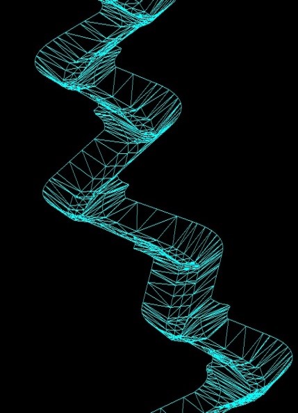
To improve efficiency and precision of stream restoration designs, CEC developed custom tools (for high-gradient and low-gradient streams) for use within AutoCAD® Civil 3D® Corridors to handle the complex transitions of stream geometry. CEC’s 3D stream designs contain facet slopes of natural rivers, which can be adjusted to maintain channel stability or to provide favorable slopes for spawning habitat. Utilizing Corridors for stream modeling inherently and dynamically links the three components of a stream (pattern, profile, and dimension), allowing a designer to make iterative changes with instantaneous and accurate 3D updates. CEC’s process provides optimization and balancing of earthwork volumes, accurate grading plans and quantities, precision construction grades, and cost savings during design and construction. Additionally, CEC’s customized tools and processes allow for accurate, early-stage design decisions. CEC’s 3D designs are provided to contractors for use on GPS-guided construction equipment or to use for their own conventional construction layout. Additionally, CEC’s construction inspectors use these files to provide quality assurance on client projects. In the instance that satellite signal is poor, CEC will use a Robotic Total Station to provide the same service with the 3D layout files.
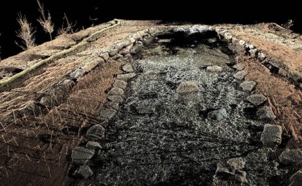
Three-Dimensional (3D) Stream Surveying
CEC employs the latest 3D laser-scanning technology for topographic surveying to create detailed geomorphic surveys and stream restoration as-builts. The laser-scanning equipment increases efficiency while capturing high-resolution data. The technology enables the rapid capture of detailed bank profiles for quick and accurate BEHI calculations, precise topographic surveys, vegetation identification, detailed cross-sections, exact locations and size of in-stream structures, and much more. The stream survey is then augmented with underwater survey shots to create a seamless surface for topographic and geomorphic surveys.