CEC provides expertise to reduce the risk of ground movement, including landslides, on rights-of-way (ROW) for the oil & gas, power generation, and telecommunications industries.
 Depending on the need, our geotechnical engineers may research available geotechnical data and/or perform field inspections, or conduct intrusive sampling such as test drilling. The goal is to develop measures to reduce the risk of future ground movement that can impact the integrity of structures within the ROW.
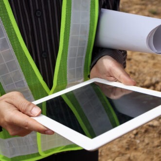
Desktop Study
Using a proposed alignment, geotechnical engineers and GIS specialists research available relevant data to develop a geohazard map specific to the ground movement concerns; typically landsliding or mine subsidence. The map(s) help identify areas of concern along the alignment.
Site Reconnaissance
Based on the areas of concern identified during a desktop study, reconnaissance may be warranted to confirm the findings of the study. An experienced geotechnical engineer identifies potential ground movement issues and then delineates and photographs the areas of concern. The site reconnaissance will further refine the number, locations, and severity of potential geohazards along the ROW.
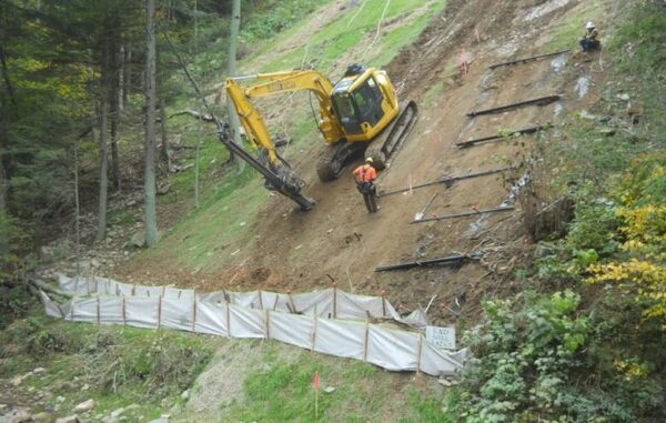
Field Investigation
Severe geohazards may require further investigation to obtain data to assess the severity and develop measures to reduce the risk of ground movement. Depending on the hazard, investigations can include:
- Test drilling with split-spoon, Shelby tube, or rock sampling
- Excavating test pits with bulk soil sampling
- Hand sampling of soils using bucket augers or other methods
- Installing slope inclinometers
- Laboratory testing
Design
CEC geotechnical engineers analyze gathered data and develop recommended measures to reduce the risk of future ground movement. Measures associated with landslides can include surface or subsurface drainage, route modification, slope stabilization, or ground pipeline monitoring. Mining measures can vary depending on whether the mining is active or historic.
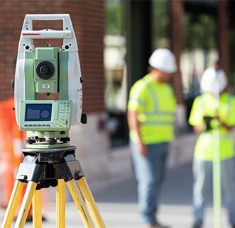
Additional Services
CEC supports geohazard services with surveying and construction phase services. Surveying is often needed to develop topography or establish ROW limits. CEC utilizes a variety of survey technologies including total station, 3D LiDAR scanning, and unmanned aerial vehicles (UAVs or drones). CEC’s quad-copter or fixed-winged UAVs can be deployed to obtain video footage and photography or to gather topographic information where there is unsafe terrain or in high-hazard areas. During construction, CEC’s inspectors can monitor for compliance with plans and specifications and also provide construction management services.