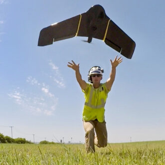
CEC utilizes unmanned aircraft systems, airplanes, and rotary aircraft to conduct site inspections, topographic surveys, construction site monitoring, stockpile and landfill volumetric calculations, vegetation analyses, optical gas imaging, thermal imaging, and abandoned well exploration projects.
With over 20 years of aerial mapping experience, CEC has acquired and processed over 1,000 projects nationwide ranging from one to 50,000 acres. Our teams are equipped with the latest in LiDAR and imaging technologies, giving them the leverage to push your project to the next level. Our use of aerial mapping enables us to conduct survey data acquisitions for projects safely. It also creates economic efficiencies by reducing the number of field personnel and the time required for data acquisition and project completion.
Applications of the technology include:
Aerial Photography 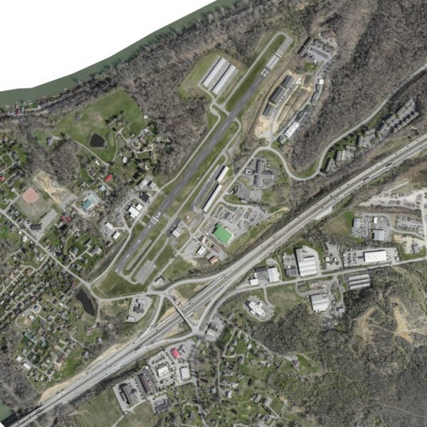
- Nadir & Oblique Aerial Imagery
- High-Definition Video
- Color Infrared Imagery
- Digital Photogrammetric Mapping
- Digital Orthophotos
- Aerial Triangulation
- 2D & 3D Planimetrics
- Stockpile Volumes
- Image Rectification
- Terrain Models & Contours
- Right-of-Way Monitoring
- Aerial Ground Control Survey
- Impervious Surface Studies
Aerial Topography 
- Stockpile Volumes
- Terrain Models & Contours
- Right-of-Way Monitoring
- Landslide Identification
- Tree Canopy Studies
- Tree Breast Height Diameters
- 3D Powerline Assessments & Models
- Change Detection
- Subsidence Monitoring
- Floodplain Analyses
LiDAR Technology
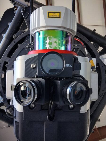
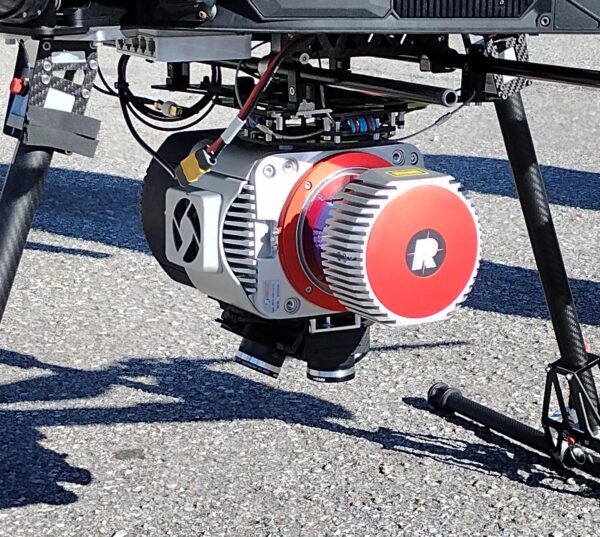
CEC owns and operates a GeoCue Trueview 680 featuring three 20-megapixel cameras and the latest LiDAR sensor technology. The camera sensors are oriented in a way that provides one nadir (top-down) image and two opposite-facing (oblique) images making it ideal for capturing and processing detailed orthomosaics for right-of-way corridors and large project areas. The LiDAR sensor captures 1,500,000 points per second with a maximum operating range of 3,000 feet above ground level. This system provides dense point spacing of over 300 points per square meter allowing CEC to collect reliable topography even in the summer months under heavy vegetation.