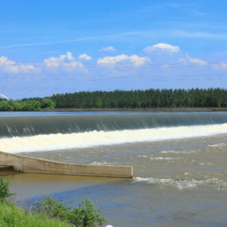
CEC performs bathymetric/hydrographic surveys using its in-house fleet of survey vessels and depth-sounding equipment to satisfy diverse industry needs for mapping underwater environments.
CEC collects comprehensive bathymetric data to assist manufacturing, mining, oil & gas, power, and transportation companies with projects requiring accurate water depth/bottom surface elevation data. Surveys are performed to assist with:
 Rivers and Harbors
- Maintenance Dredging
- Draft Verification
- Pre- and Post-Demolition Surveys
Impoundments
- Storage Volume
- Residence Time Calculations
Utilities
- Crossing Alignment
- Horizontal Directional Drilling (HDD)
- Trench Verification
Planning and Design
- Harbor Facilities
- Intakes and Outfalls
In-House Resources
 Fleet
Fleet
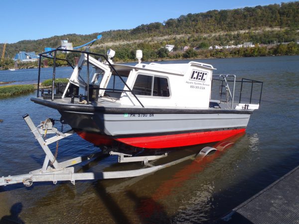
CEC houses and maintains its own fleet of survey vessels. Our vessels are operated by CEC personnel with a United States Coast Guard (USCG) Captain’s License and/or safe boat operation training, and who have been trained to work in aquatic environments. In addition, CEC survey vessels are outfitted with required USCG safety equipment.
Equipment
CEC’s techniques and equipment are consistent with surveying guidelines outlined in the U.S. Army Corps of Engineers’ Manual No. 1110-2-1003. CEC’s hydrographic survey equipment can be deployed on multiple vessels, offering greater flexibility to accommodate project needs.
- Innerspace Model 456 Dual Frequency Sounder
- Trimble Differential Global Positioning System (DGPS)
- Trimble Real-Time Kinematic (RTK) Survey-Grade GPS
- HydroLiteTM Echosounder
Data Collection
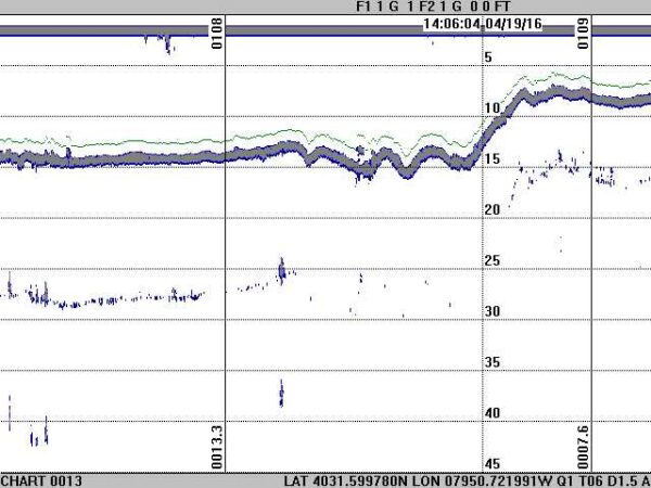
Data logging intervals can be set to collect depth measurements and corresponding
position locations every second, allowing for the collection of thousands of georeferenced soundings to provide a detailed and comprehensive survey.
CEC uses conventional land-surveying methods to provide hydrographic survey tie-in points and daily surface water elevations. Survey data is processed under the supervision of a Registered Land Surveyor.