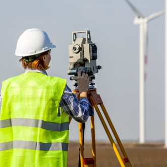
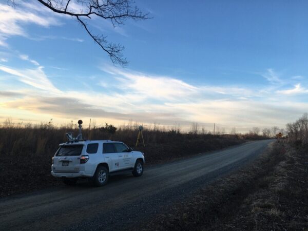
As a marketplace leader, CEC maintains the latest in LiDAR technology by utilizing an advanced Riegl VUX-1LR Kinematic LiDAR system to collect survey-grade data at highway speeds.
With data collection rates of up to 1,500,000 points per second, high-resolution point clouds enable extraction of topographic information as well as detailed analyses of sidewalk and pavement conditions.
Pavement Analysis
 CEC performs analyses on the pavement condition to aid in roadway maintenance and repair. Through the application of this technology, CEC’s clients can plan for the most efficient use of available resources. CEC maintains its place as a leader in the marketplace by maintaining the latest in LiDAR technology. The collection of LiDAR and imagery and production of ASTM 6433 Excel-format pavement assessment reporting can all be done through our cost-efficient workflow solutions.
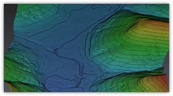
Topographic Survey
Through the use of kinematic LiDAR and 360° imagery, CEC creates topographic mapping of roadway corridors in a safe manner. Traveling at highway speeds, CEC’s experts capture detailed topographic information on all visible objects. High-reflectance targets can be acquired at 50 KHz from distances over 1 km away. Using a variety of software packages including Terrasolid and TopoDOT, CEC extracts topographic features and digital terrain models from the colorized point cloud datasets and georeferenced imagery.
Power Infrastructure Survey
 CEC performs roadside overhead utility surveys by driving on routes parallel to existing utility wires and poles. Trained technicians process the collected data into meaningful deliverables which typically consist of 3D catenaries sagged to at-survey weather conditions, PLS-CADD models, vegetation encroachment reports, and ground clearance reports. Overhead clearance and wire heights can be measured and labeled with certainty.