On June 18, the U.S. EPA announced a new tool that assembles publicly available water quality data into a user-friendly package that provides information on the quality of our nation’s waters. The public can use the site to learn about water, explore data, and discover what’s happening to improve the health of our waters. Map-centric and mobile-friendly, “How’s My Waterway” provides users with summaries of water quality at the community, state, and national level. Examples of your questions that you’ll have answered are:
- What’s the health of my local waters?
- What are some challenges and what’s being done to restore or protect my local waters?
- What’s in my drinking water?
- Are waters in my area suitable for swimming or eating fish?
- Can I access a statewide survey of water quality?
- What’s the quality of various water resources (lakes, rivers and streams, wetlands, coastal areas) across the nation?
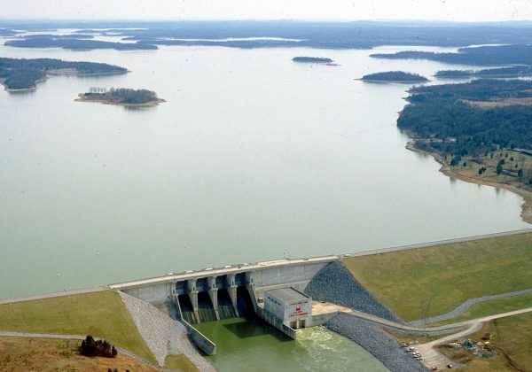
A primary repository for the data available in How’s My Waterway is the U.S. EPA’s Water Quality Exchange (WQX). Data from WQX has been available through other means in the past, but identifying and acquiring the data you specifically need has always been a laborious process fraught with challenges. The map-centric nature of How’s My Waterway makes these tasks much simpler. The system is also surprisingly fast at delivering the requested information. The additional capabilities for higher level assessments beyond retrieval of data are also significant.
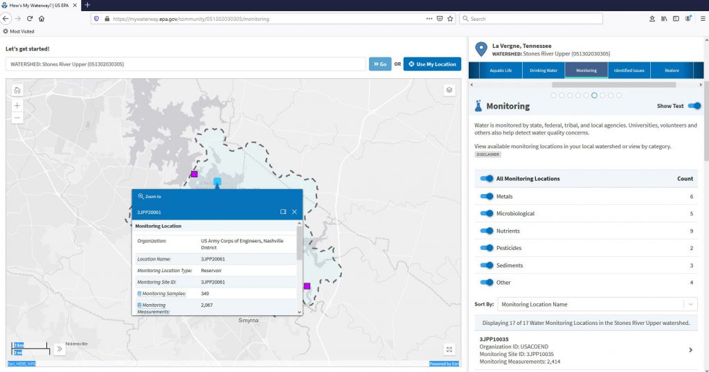
Gerald Burnette, who is a senior project manager in water resources working out of our Nashville office, created software for managing surface water quality data, and the How’s My Waterway tool is now using data from that software. Called the Data Management and Analysis System for Lakes, Estuaries, and Rivers (DASLER, pronounced like “dazzler”), it has been designated as the only officially supported software for this purpose by the U.S. Army Corps of Engineers (USACE). DASLER users can easily post their data directly to WQX, which makes sharing data with the broader water quality community very easy. The geographic context of the How’s My Waterway interface provides a convenient framework for comparing DASLER data to other sources for the same area.
Want to learn more about DASLER’s development and how it can help you achieve your goals? Visit our blog post here.


Post a Comment